Get specific tile(s) from the data based on a tile* object. Indexing via
i and j params is used to select the tile(s) to get, in a manner similar
to [ extraction of bounds from tile* objects.
All params are usable with any method except when otherwise stated.
This generic handles data/tile* object interactions. For simple selection
of data based on a set of bounds, see the low-level generic getBoundedData().
The character method only works for filetypes readable by {terra}.
New x data types should automatically work with this generic as long as a
getBoundedData() method is created for it. A specific getTile() method
is only needed if additional params/operations should be performed before
the tile selection, (for example layer selection with raster data).
Usage
# S4 method for class 'token,tilePlan'
getTile(x, tiles, ...)

# S4 method for class 'ANY,tilePlan'
getTile(x, tiles, i = NULL, j, pad = NULL, sel_params = list(), ...)

# S4 method for class 'character,tilePlan'
getTile(x, tiles, prefer = NULL, ext = NULL, ...)

# S4 method for class 'SpatRaster,tilePlan'
getTile(x, tiles, lyr = NULL, extend = FALSE, fill = NA, ...)

# S4 method for class 'SpatRaster,pointTilePlan'
getTile(x, tiles, lyr = NULL, extend = FALSE, fill = NA, ...)

# S4 method for class 'ANY,tileGroup'
getTile(x, tiles, i, j, ...)

# S4 method for class 'ANY,tileIterator'
getTile(x, tiles, advance = TRUE, ...)
Arguments
- x
data
- tiles
tile*object- ...
additional params to pass to
[tilePlanindexing- i
ANY except tileIterator tile vector index or row index if
jis also provided- j
ANY except tileIterator tile col index
- pad
(optional) additional padding to apply before tile retrieval. Useful for temporarily increasing padding without affecting
tile*object.- sel_params
list of named params to pass to the tile
[selection call. Rarely needed; covers internal[options such asexpand_grid.- prefer
characterfilepath only character. Hint for file reading ("raster"or"vector"). If provided, skips automatic type detection.- ext
SpatRasteror raster filepath (character) onlynumericorSpatExtent(optional) Set an extent before extracting tiles from raster.- lyr
SpatRasteronly if provided, which layers/channels to include- extend
pixelTilePlanonly logical (default = FALSE). Whether to extend tile data to reach expected tile dimensions- fill
pixelTilePlanonly numeric. ifextend = TRUE, what value to fill with- advance
tileIteratoronly logical (default = TRUE). Whether to advance the iterator.
See also
Other tile processing:
getBoundedData(),
tileApply(),
tileApply-group,
tileApply-iterator,
tileApply-plan
Examples
f <- system.file("ex/elev.tif", package = "terra")
r <- terra::rast(f)
tp <- tilePlan("pixel")
tp$pxdims <- dim(r)[1:2]
tp$nrows <- 10
tp$ncols <- 10
# get tiles from specific array grid indices.
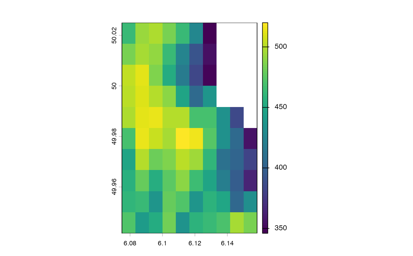
tile_list <- getTile(f, tp, i = 3, j = 5)
force(tile_list)
#> [[1]]
#> class : SpatRaster
#> size : 10, 10, 1 (nrow, ncol, nlyr)
#> resolution : 0.008333333, 0.008333333 (x, y)
#> extent : 6.075, 6.158333, 49.94167, 50.025 (xmin, xmax, ymin, ymax)
#> coord. ref. : lon/lat WGS 84 (EPSG:4326)
#> source(s) : memory
#> varname : elev
#> name : elevation
#> min value : 346
#> max value : 520
#>
plot(tile_list[[1]])
 # get tiles via iteration
iter <- tileIterator(tp, batch_size = 3)
b1 <- getTile(r, iter) # get first batch of 3...
b2 <- getTile(r, iter) # get second batch of 3...
# get tiles via iteration
iter <- tileIterator(tp, batch_size = 3)
b1 <- getTile(r, iter) # get first batch of 3...
b2 <- getTile(r, iter) # get second batch of 3...